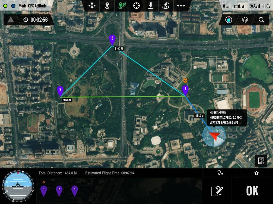
Using GPS position hold and way point capability, we are able to move into any position and altitude in space.
The aerial camera can be moved on all 3 axis to provide any angle possible. A live 1080P HD video feed is sent to a portable monitor where the images can be maneuvered and inspected in real time.
High resolution images and/or HD Video can be viewed by the client to make their assessment in the moment, while having the advantage of retaining this vital information via digital storage for future scrutiny and evaluation.
Hurricane Sandy caused massive of storm damage to much of New York and New Jersey’s industrial infrastructure.
Close range, low altitude unmanned Drone / UAV remote aerial inspection is available as a powerful cost effective safe alternative to risking the crew of a manned helicopter in some tight or risky locations.
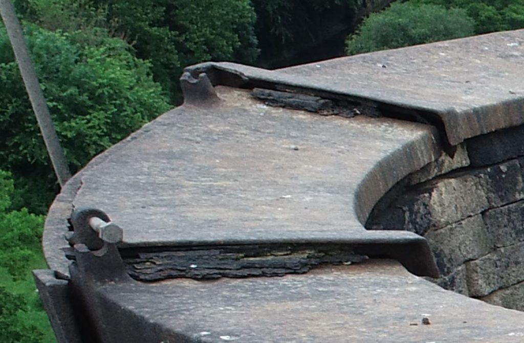
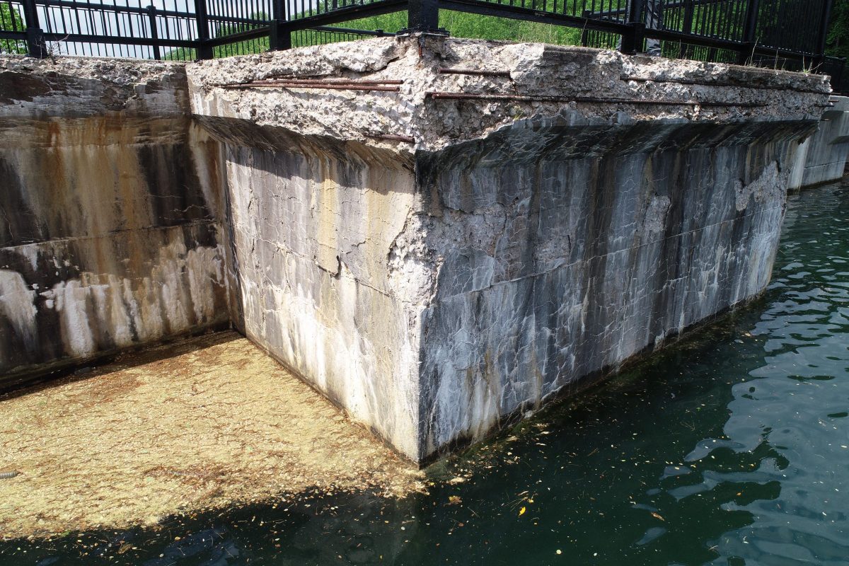
Harmony Drones is capable of capturing high resolution digital images feet away from the problem for a close up view of the damage allowing more accurate images without the risk of human life.
Damage Inspections include but are not limited to:
- Hurricane Damage Survey
- Crane Inspection
- Smoke Stack Inspection
- Power Line Aerial Inspection
- Pipe Lines
- Wind Farm / Wind Mill Aerial Inspection
- Roof top Damage Inspection
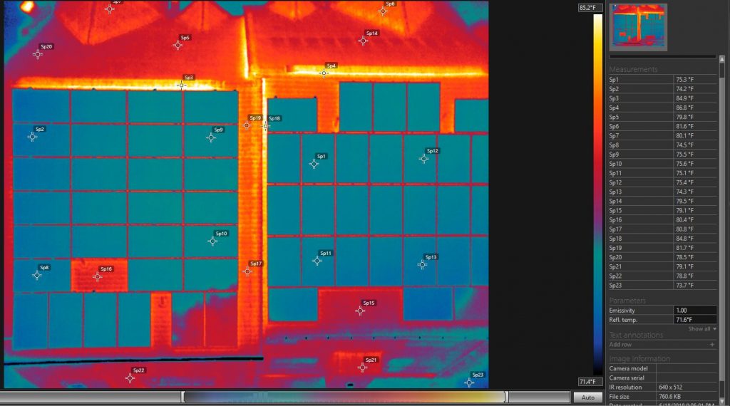
- Solar Panel Inspection
- Refinery Flare Tip Inspection
- Bridge Aerial Inspection
- Search and Rescue Operations
- Damage Inspections Insurance Companies
- Any Situation Requiring Aerial Video or Photography to Assess Damage.
